- German
- English
- French
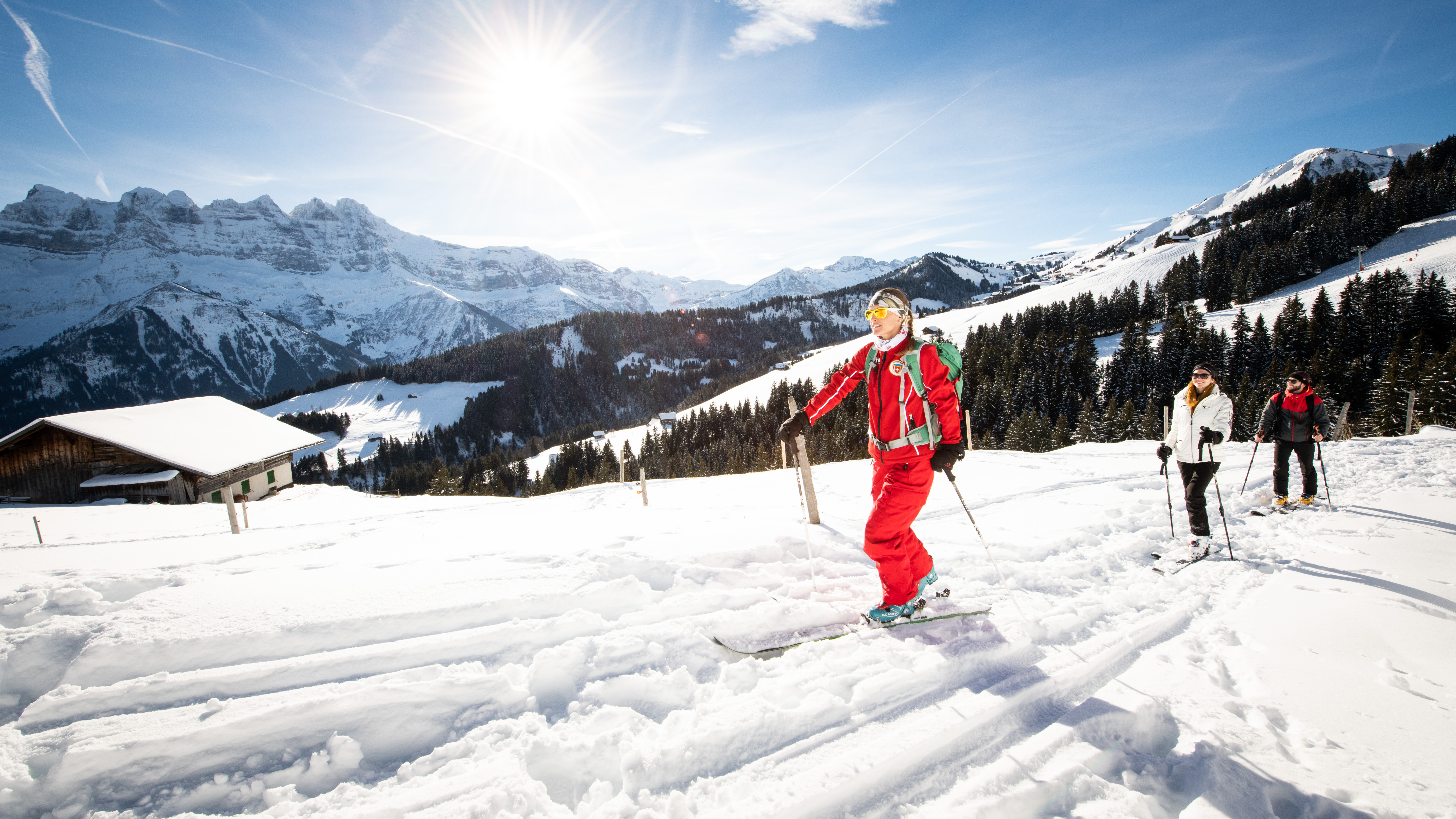
This itinerary is a scenic mix between the red Abérieu trail and the easy, blue Savolaire trail.
The trail starts gently, following the wide track on your left towards Champarin. At the first crossroads, take the trail on your right towards le Madze. You’ll head up a steep, narrow path through a lovely forest.
At the clearing, when you see a cross, turn left (following the blue dots) upwards in the direction of the Savolaire restaurant (closed in winter), making your way to the Club Alpin Suisse mountain chalet. From there, you’ll have one last athletic uphill skin before the final traverse across to the Foilleuse. From there, one final push will take you to the Crêtes ridge before you make your way down the Foilleuse ski slope.
SIGNS
The trail is marked with yellow diamond-shaped signs (marked with red then blue dots) up to the top of the Foilleuse.
SAFETY INSTRUCTIONS:
Please take note and follow these important safety instructions. At the start of each trail, a sign indicates whether it is open or not. If the trail is closed, this can indicate lack of snow or dangerous conditions. Taking a closed trail is at your own risk. Open or closed, the trails are marked but not patrolled. We strongly advise that you carry, and know how to use, avalanche safety equipment (avalanche transceiver, probe, shovel, and emergency blanket). Région Dents du Midi and Movement Skis decline all responsibility in case of an accident.
Turn-by-turn direction
The trail is marked with yellow diamond-shaped signs (marked with a red then a blue dot) up to the top of the Foilleuse.Best time of year
Please be aware that skiing down outside operating hours may involve risks and hazards such as avalanche triggering or grooming machines equipped with a winch.
Accessibility
Prestations
- Parking nearby
Fromages
Prices
Useful links
Location
Start from the Parking du 6 Août, the car park next to the tourist office in the centre of Morgins village.

