- German
- English
- French
A walk along the border between Châtel and Morgins, starting at the top of the Super-Châtel cable car and descending to Morgins.
Super Châtel Gondola – Lake Conche – Portes de Culet Pass – Corbeau Hut – Lake Morgins
Take the Super Châtel cable car from the centre of Châtel (at the top, you can take the Morclan chairlift to see Mont Blanc and back).
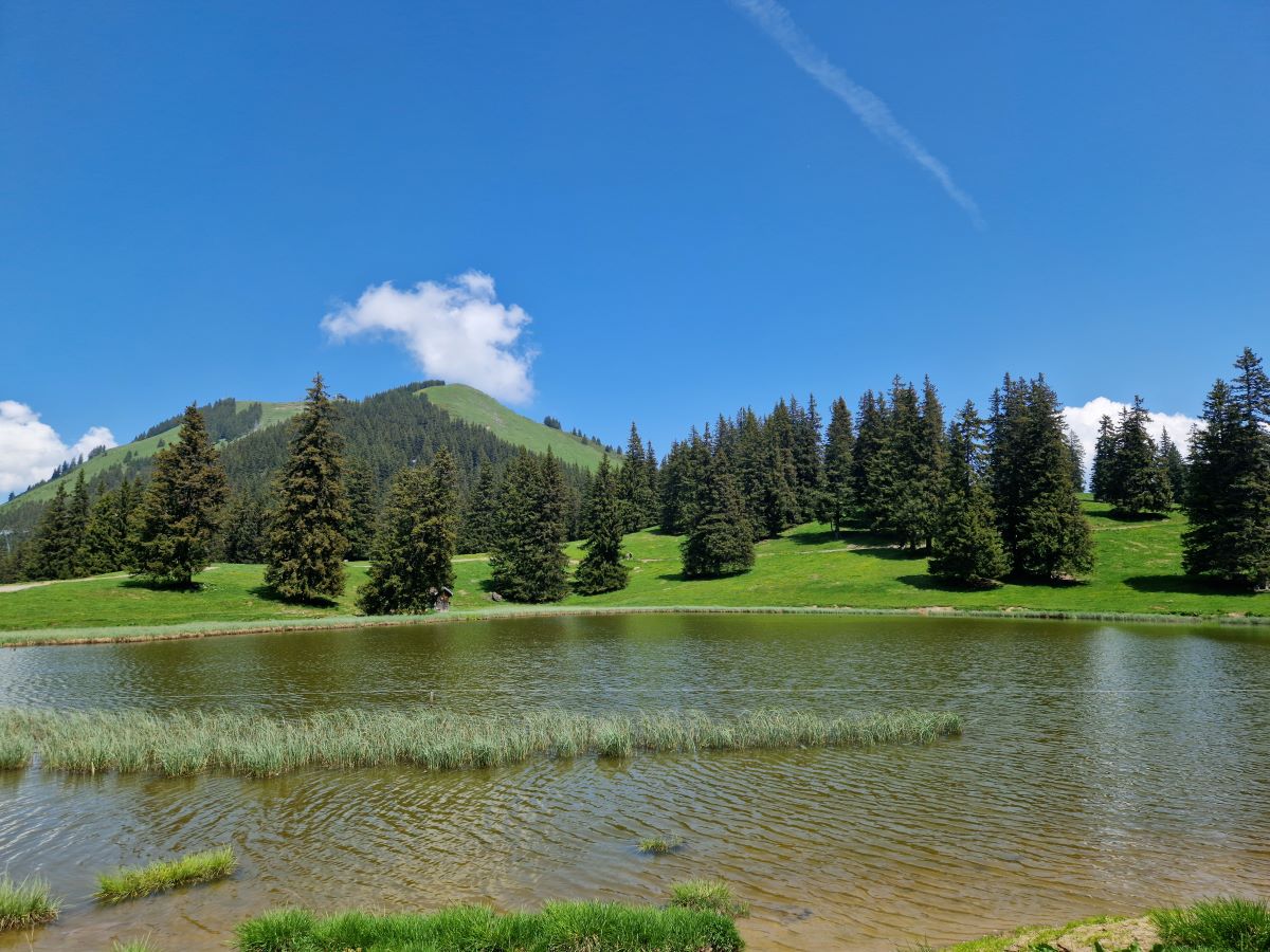
From the top of the cable car, turn right along the path to Lac de Conche, then at the mountain pasture turn right towards the Chalet-Neuf alpine restaurant and go up to Col Portes de Culet, where you’ll enjoy a magnificent view of the Dents du Midi. Descend towards Morgins as far as Les Ecottis.
From Les Ecottis, take the path on the right to the Refuge du Corbeau alpine restaurant for a refreshing break.
You then have a choice of :
-take the path behind the Refuge du Corbeau towards Sur le Bord and descends on a steep trail to the Pas de Morgins (according to the itinerary on our map)
-Or take the forest road that descends to the right in front of the Refuge du Corbeau to reach the Pas de Morgins (see map to download under “useful links”, blue trails)
VARIATIONS FROM MORGINS CENTER :
(see map to download under “useful links”, blue trails)
In the morning, walk directly from the centre of Morgins to Lac de Morgins (+40 minutes).
At the end of the day, you can also walk down to the centre of Morgins:
-either directly from Les Ecottis
-or via the Refuge du Corbeau down the larger path to the Têtes crossroads, then take the unmarked Karmezin path that joins the route de Sépaz.